This week’s activity has 2 parts:
Part 1: Watch: Plant Maps as Treasure Hunts https://youtu.be/2GE1PH_TQa0
Try to answer these questions:
If you are in Australia, what country are you on? If you are not in Australia, what people have lived on the land you are now on? What can a map do, aside from helping you finding a destination? What might be beneficial about walking inefficiently or indirectly? What is a recombinant ecology? Go for a walk outside: List/draw/photograph 3 plants you see.
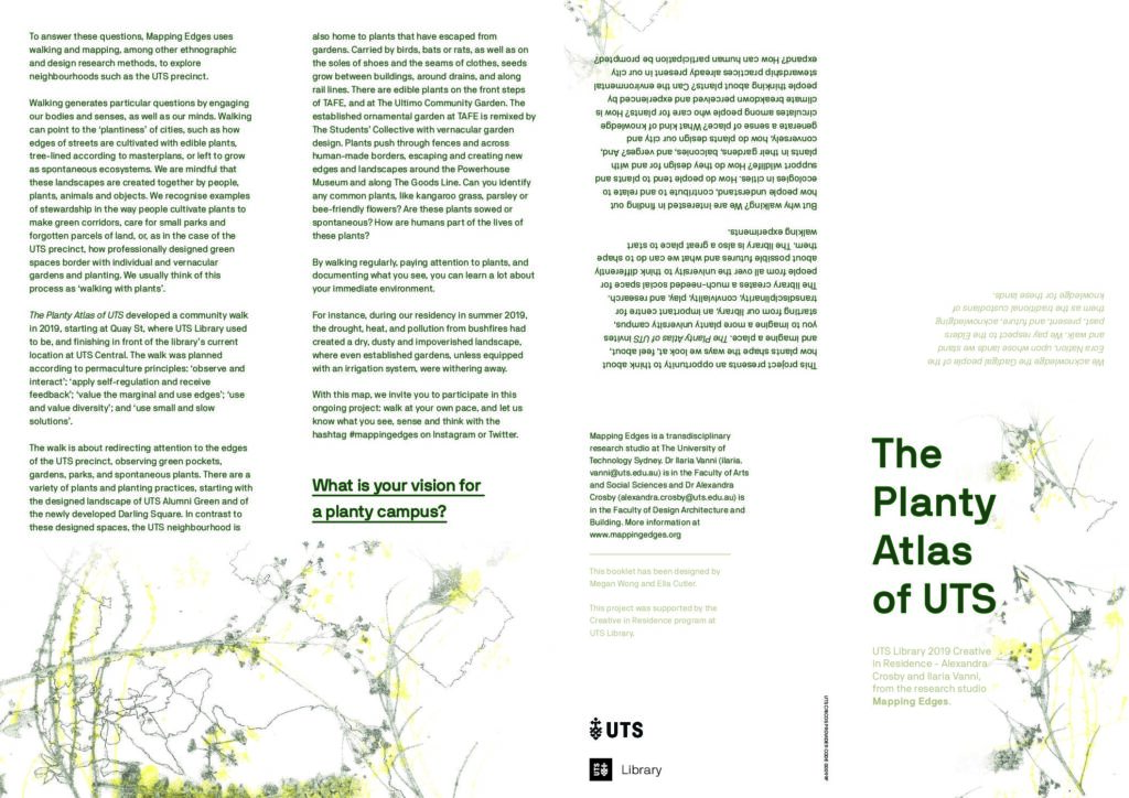
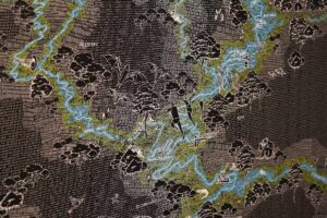
Part 2: If you are able, download and print the Planty Atlas of UTS.
If you can’t print, download and read the special edition book from the UTS library.
Read about the Sustainable Development Goals
If you are able to travel to campus, start from the old library (opposite Paddy’s markets). Loosely follow the Planty Atlas map to walk past Darling Square, the Powerhouse (MAAS), Mary Ann Street Park, TAFE, the Alumni Green and finish up at the new UTS Library
If you are not able to travel to campus, take a walk in your neighbourhood of a similar distance to the Planty Atlas walk.
If you are using social media, use #mappingedges to join the archive
What plants did you notice?
What did you notice about the weather?
What would it have been like to do this walk 200, 500, 1000, 10,000 years ago?
What will it be like to do this walk in 10, 20, 50, 100 years time?
How could UTS and the surrounding precinct (or your neighbourhood) be more inclusive, safe, resilient and sustainable? (SDG 11)
0 Comments