RESOURCES
RESOURCES
Browsing Tag: map
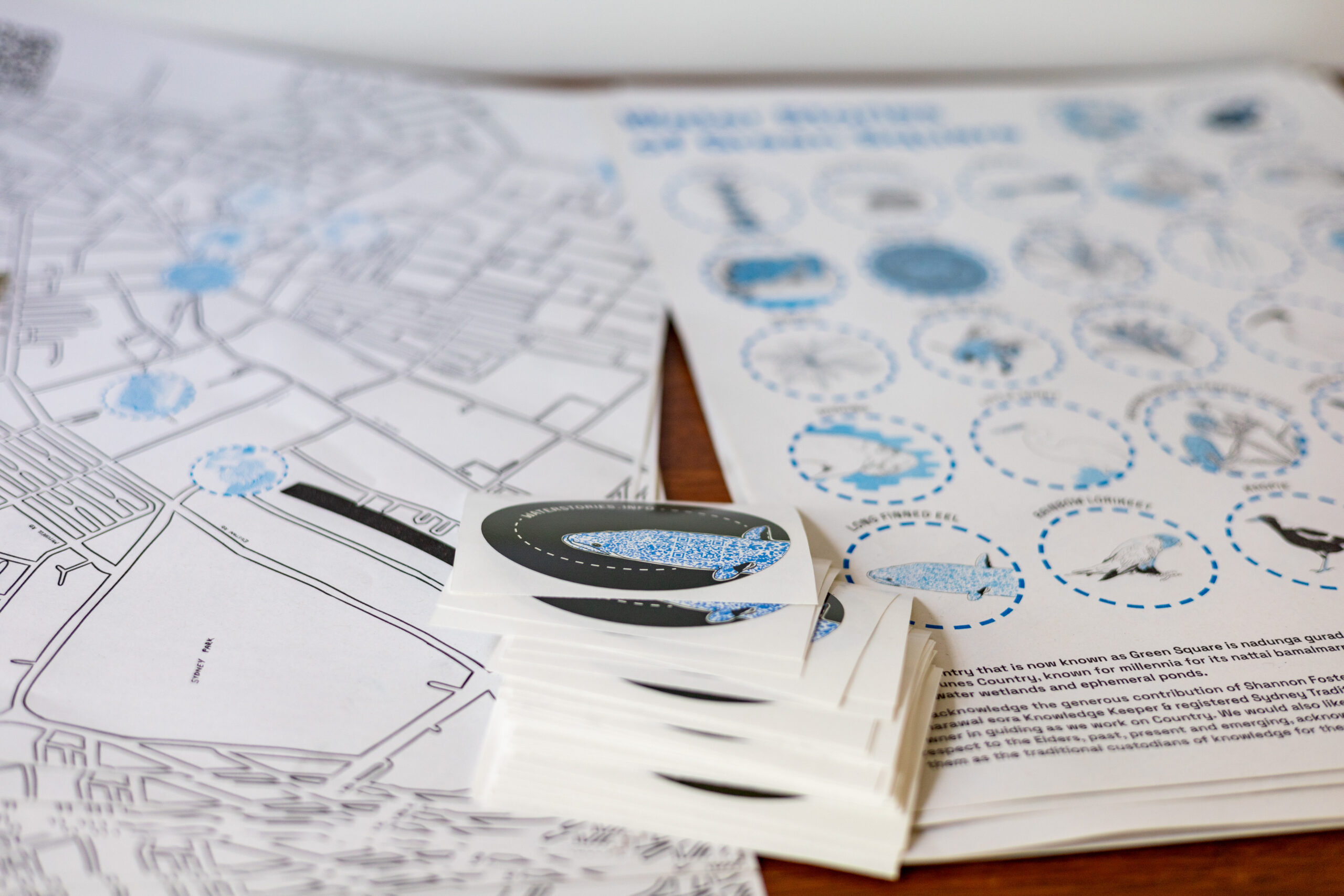
Water Stories of Green Square
The next in our series of hand made maps, designed by Ella Cutler. The Country that is now known as Green Square is nadunga gurad, sand dunes Country, known for millennia for its nattai bamalmarray, freshwater wetlands and ephemeral ponds. We acknowledge the generous contribution of Shannon Foster, D’harawal eora Knowledge Keeper & registered Sydney […]
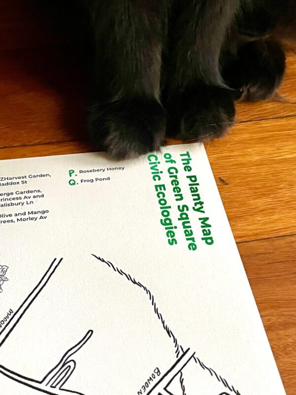
The Planty Map of Green Square Civic Ecologies
Launching a walking map of Green Square. The map signposts civic ecologies so that residents can use it when they walk around their 5kms radius.
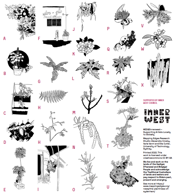
The Plantiness of Sydenham
The Plantiness of Sydenham encourages you to walk the vital industrial lands of Sydenham, envisaging the neighbourhood in more than human ways. Contribute to an online collaborative map or pick up a printed map during Creative Trails. We will be working with the ever brilliant local illustrator Ella Cutler to design the printed map. There […]
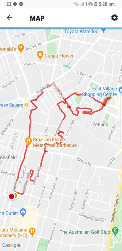
Scoping Green Square
We have begun taking regular walks in Green Square as part of the scoping stage of our project on Civic Ecologies. This is an outline of our first scoping walk. We are documenting civic ecologies as we observe them, and also using a shared map to mark points of interest.
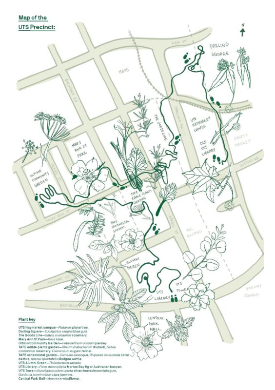
The Planty Atlas of UTS
The Planty Atlas of UTS is a participatory project we designed for UTS Library Creative in Residence 2019. The project invites participants to imagine a more planty UTS campus, and it consisted in an installation of plants and books from a variety of disciplines, curated walks in the UTS precinct and workshops. We recorded the […]