RESOURCES
RESOURCES
Browsing Tag: marrickville
The not-yet-tropical: mapping recombinant ecologies in a Sydney suburb
Mapping and fitness apps, government agencies and departments, and citizen science projects provide a wealth of data on urban green spaces, charting parks, reserves, and green corridors in and around Sydney. These maps represent vegetation as surface and, as Doreen Massey in the 2005 book For Space noted about other types of Western maps, detach […]
Marrickville Maps: Tropical Imaginaries of Abundance
This is a guide to three plant-led walks in Marricville. A Non-Traditional publication, this work is published by Frontyard Projects, Sydney, Australia, 2018, ISBN–13: 978–0–994625–1–3 and is licensed under a Creative Commons Attribution-ShareAlike 4.0 International License. CC BY-SA It was designed by Ella Cutler, and supported by funding from Inner West Council.
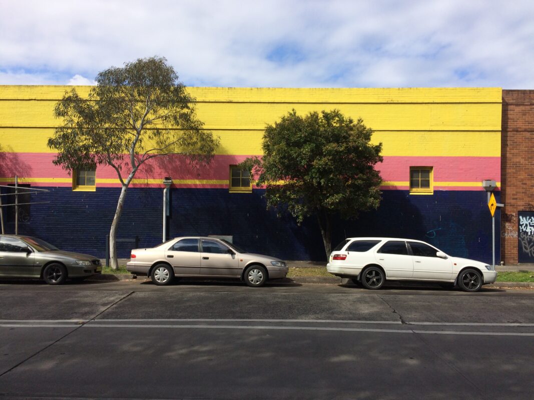
Made in Marrickville: Enterprise and cluster dynamics at the creative industries-manufacturing interface, Carrington Road precinct
Alexandra Crosby co-authored a report on Carrington Road, an area of Sydney’s Inner West Mapping Edges has been exploring in our research on disturbed landscapes in industrial zones of the city. The report is part of a broader project: ‘Urban Cultural Policy and the Changing Dynamics of Cultural Production’. Sydney is one of three Australian […]