We are pleased to publish our first series of walks, ‘Marrickville Maps: Tropical Imaginaries of Abundance’.
This work is licensed under a Creative Commons Attribution-ShareAlike 4.0 International License. CC BY-SA
This booklet has been designed by Ella Cutler, also featured here.
This project was supported by funding from Inner West Council.
Thank you to Frontyard Projects Publishing Sydney, Australia, 2018, ISBN–13: 978–0–9946251–1–3
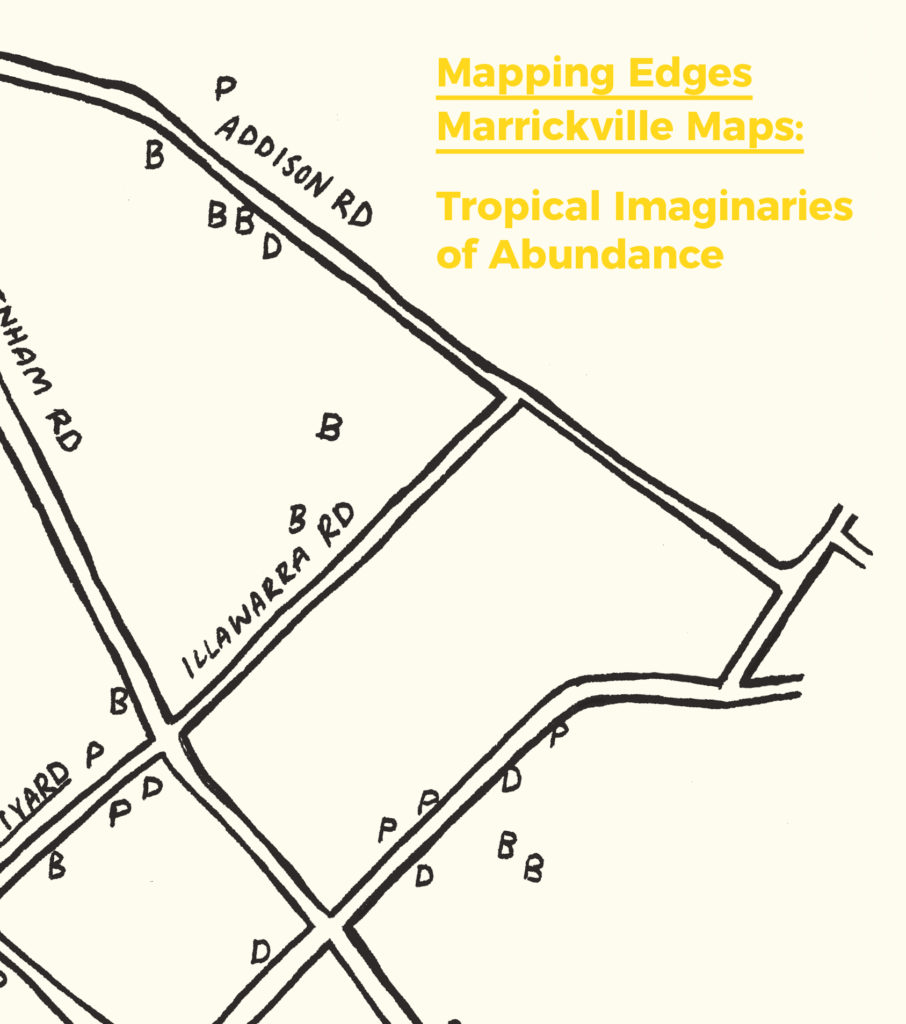
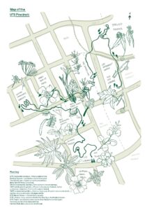
We acknowledge that we are walking on Aboriginal land — the Cadigal Wangal people of the Eora are the traditional custodians of Marrickville. We pay our respects to elders past, present and future. This series of walks present an opportunity to think about how plants shape the ways we look at, feel about, and imagine a place. In the contained booklets, we invite you to imagine a tropical Marrickville, and we suggest you follow the trajectories and assemblages generated by three plants: banana trees, papaya trees and dragon fruit.
We started walking in Marrickville while we were in residence at ‘Frontyard’, a local, ‘Not-Only-Artist Run Initiative’ where people can imagine, and take steps to create, possible futures. Frontyard crosses the bureaucratic edges of the suburb, city and state, serving as a much needed social space for people from all over Sydney who want to think differently about possible futures and what we can do to shape them. Frontyard is a great place to start walking experiments.
In our work we use ethnographic and design research methods, such as repeated walks to map neighbourhoods. Walking generates particular questions by engaging our bodies and senses, as well as our minds. These walks help us identify issues and characteristics, such as how the edges of streets can be cultivated with edible plants, tree-lined according to masterplans, or how plants develop small, spontaneous ecosystems. We are mindful that these landscapes are created together by people, plants, animals and objects. We usually think of this process as ‘walking with plants’.
For this booklet, we were led by tropical plants. While we were walking and mapping Marrickville—a hybrid suburb, where the industrial present meets the gentrified future—we noticed the recurring presence of bananas, papayas and dragon fruits. These plants led us to develop a specific focus on the tropics.
The plants we mapped, rather than being technically ‘tropical’ species, are those we associate with the tropics. We define this state of things as the ‘not yet tropical’ of the city to indicate how the urban landscape of Marrickville is adapting to rising temperatures and climate change, and how this acclimatization is made visible by the growth of tropical species.
As part of our mapping practice we follow up these repeated walks with ‘over the fence’ conversations, private gardens tours, and then short interviews. In doing so we produce an audit of a place through the lens of plants. Another element in our methodology is to use everyday technology like our phones and apps: Instagram as a note-taking tool and visual diary in real time, and Map my Walk as a way to record and map our routes. In this way anyone can reproduce our methodology to map their own neighbourhoods, just using #mappingedges.
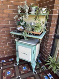
Our research reveals that plants encourage specific practices and behaviours in the gardens of Marrickville. For example, gardeners build certain structures in response to how a plant grows, or neighbours develop social relations through the exchange of produce and seeds over the fence. Plants feed, delight, frustrate, and challenge gardeners and gardens.
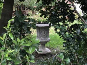
In Marrickville, as elsewhere, plants escape from gardens and are also found in industrial areas. Their seeds are carried by birds or bats or rats, or on the soles of our shoes and the seams of our clothes. Plants grow between buildings, around canals, and along train lines. Or they push through fences and across human-made borders, escaping and creating new edges and landscapes. We invite you to follow them.
Please download the series here:
0 Comments